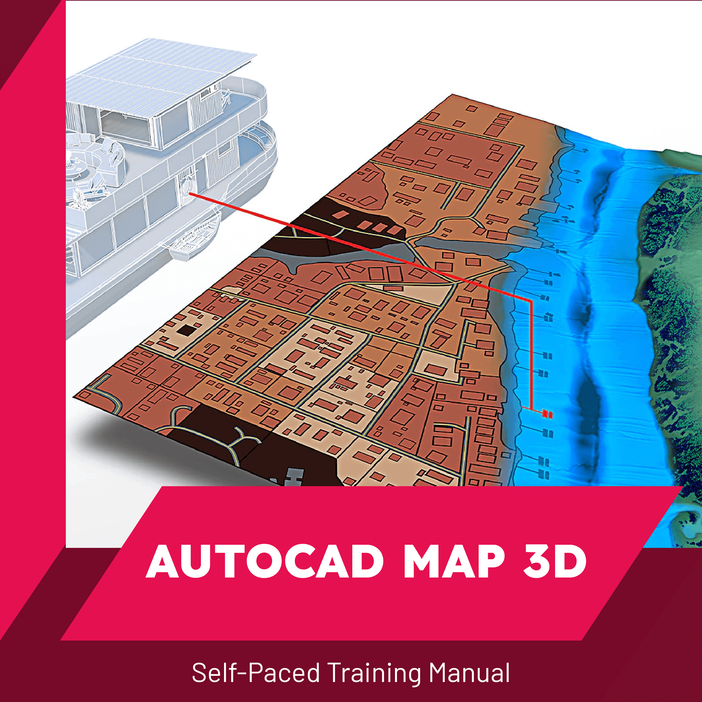
AutoCAD Map 3D
This dynamic resource features a 148-page online manual and 26 hands-on exercises, designed specifically for users who work with external databases, GIS, or facilities management information alongside maps.
Discover powerful tools that enable seamless integration and data querying in a visually compelling environment. This course focuses exclusively on geographic data analysis, omitting AutoCAD drafting functionalities covered in separate classes. Recommended prerequisites include completion of AutoCAD Level 1 and 2. Don’t miss out on this opportunity to elevate your skills in geospatial data manipulation. Unlock the full potential of AutoCAD Map 3D today and revolutionize your mapping experience!
Topics
Table of Contents

148
Pages
26
Exercises
Price: $39-$399
Price Varies by License Type
